Outdoor range mapping
Know what is downrange before you build or make a change.
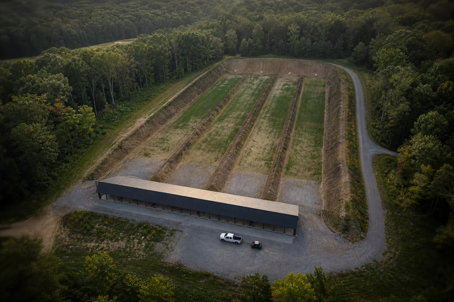
We map the firing line, targets, direction of fire, terrain, property lines, roads, houses, and the ammunition you plan to use. You get a clear view of how the range fits the property and what is around it.
Outdoor rifle, pistol, and shotgun ranges across the United States.
We can help if you need to
Get a clearer look at the range and the land around it.
- See whether a range will fit on the property before you buy land or move dirt.
- Show the firing direction, target line, berm, roads, houses, and property lines.
- Compare a different firing point, target line, or type of ammunition.
- Put together a map for a permit, grant, insurer, range adviser, or project team.
Tell us what you are trying to figure out.
Send the basics below. We will read it and reply by email.